Skip to content

Turn city cameras into real-time mobility intelligence
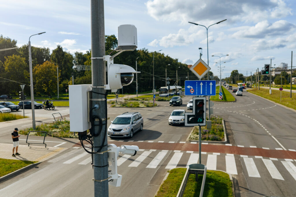
Our computer vision solutions track how pedestrians, cyclists, buses, and cars move through your streets, giving city planners the clear, privacy-first data needed to improve traffic flow, fix dangerous intersections, and back up major infrastructure decisions with real facts.

Urban mobility challenges

Fragmented mobility data
Manual counts and one-off surveys only show a single afternoon's traffic. Without continuous tracking, you can't spot long-term seasonal trends or compare street performance over time.
Overlooked movement
Induction loops and basic sensors only count cars. They miss cyclists, pedestrians, scooters, and buses, making active travel and public transit impossible to plan accurately.
Guesswork after changes
Without clear before-and-after data, it's tough to prove if a new bike lane, signal change, or street redesign actually improved traffic or just moved congestion elsewhere.
Expensive hardware rollouts
Installing brand-new hardware and digging up roads takes months and burns budgets quickly, making city-wide expansion almost impossible.

Our solutions designed for urban mobility

Automated traffic enforcement system built for modern cities
Our automated traffic enforcement system detects traffic violations, captures secure digital evidence, and turns detected events into prosecution-ready case files.

Urban Flow Analytics Solution

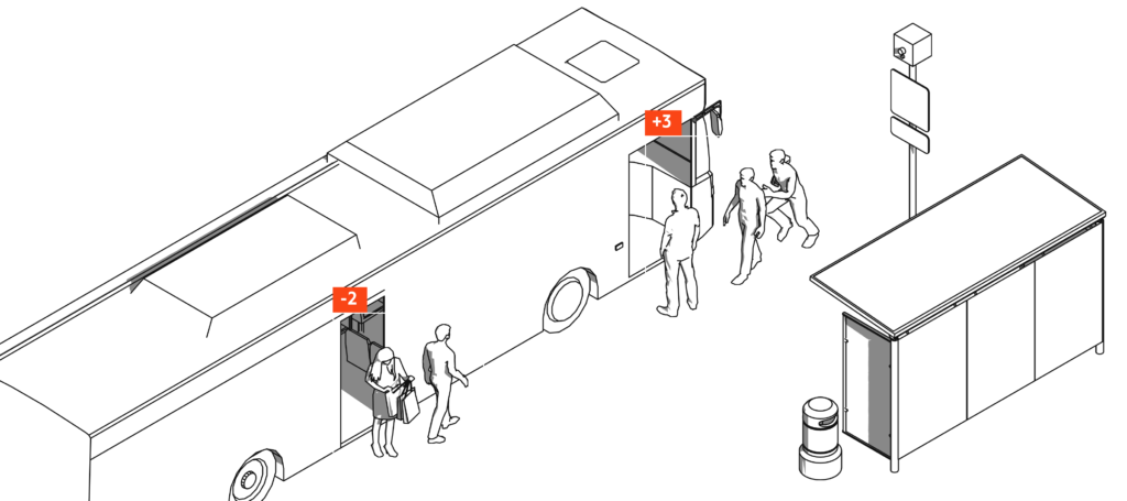
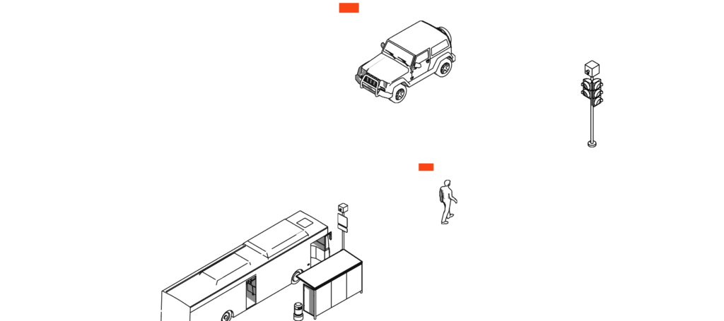
Explain that the platform measures pedestrian, cyclist, vehicle, and passenger movement while delivering actionable urban insights through a centralized dashboard.

Benefits of computer vision in smart cities

Total street visibility from a single lens

Computer vision transforms standard video into actionable data, tracking pedestrians, cyclists, scooters, cars, buses, and freight simultaneously without needing separate single-use sensors.

Smarter, data-driven investments

By continuously analyzing real movement patterns, AI pinpoints bottlenecks, near-miss zones, and infrastructure gaps so cities allocate budgets where they make the biggest impact.

Objective before-and-after proof

Visual tracking provides clear, undeniable metrics to evaluate new bike lanes, traffic signal timing, or street redesigns, proving ROI to council members and citizens.

Maximum value from existing cameras

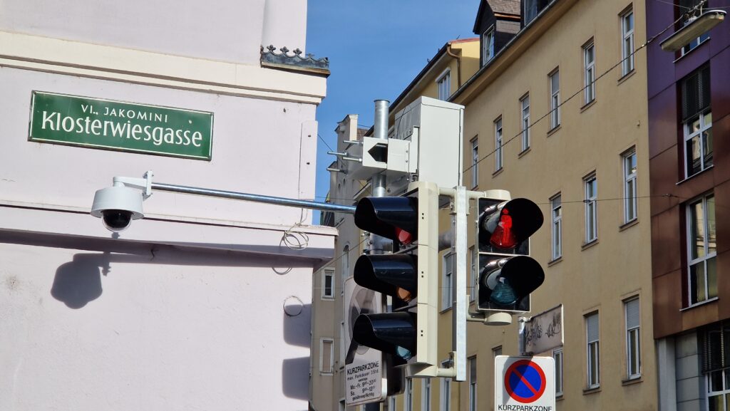
Instead of digging up roads for new hardware, edge-based computer vision plugs directly into existing camera networks, cutting deployment time and capital expenditure.

Instant insights, total data control

Automated visual analytics convert complex video streams into clear reports while protecting privacy.

Why cities and mobility partners work with us

Proven in live urban environments
Tested in real street conditions to deliver reliable, high-accuracy data across varying weather, lighting, and high-density traffic.
Builds on existing infrastructure
Connect suitable cameras, urban infrastructure, and edge devices instead of replacing working systems.
Configurable for local goals
Define monitoring zones, events, data views, and reports around each location and planning question.
End-to-end support
Full hands-on guidance, from site and camera audits to setup, data validation, and ongoing operational support.

Certifictates

Quality managment
Environmental management
Information security